.
Of course it was not always like this. The Eora were a canoeing culture and their use of the harbour as a broad field for moving across meant that a trip from one side of the harbour to the other was unlimited - except by the constraints of weather.
The obvious opportunity for better connecting many otherwise seemingly dis-connected places strung out along the harbour is via the branching network of our water ways. Ferry-catchers know this well.
This morning I paddled from Clovelly (on the coast) to a function at Balmoral (on lower-middle harbour) with my kayak. My family travelled by car using the road system.

Paddling along the coast, the sea way was free of all other traffic.
Four bonito were caught on the lure that I usually troll on trips such as this. I was hoping for the brilliant yellow flash of a kingfish - but no such luck today.
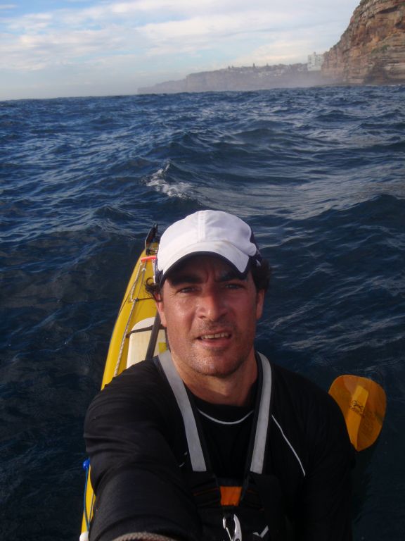
This was the view for the four bonito (before I threw them back).

It took about 2 hours to paddle the sea way from Clovelly to Balmoral (inclusive of down-time for pulling in the fish). The road way took about 1/4 of that time. I know which way I prefer.
Despite their apparent dis-connection, Clovelly and Balmoral are actually linked.
